
Catastro
How to rectify the surface area of your plot in Catastro
Updated: 2026-08-24
When Catastro's square metres are not the real ones
Catastro is a database with mainly tax purposes, and its recorded surface area does not always match reality or the deed. The difference can come from old measurements, displaced mapping, historical subdivisions or transcription errors.
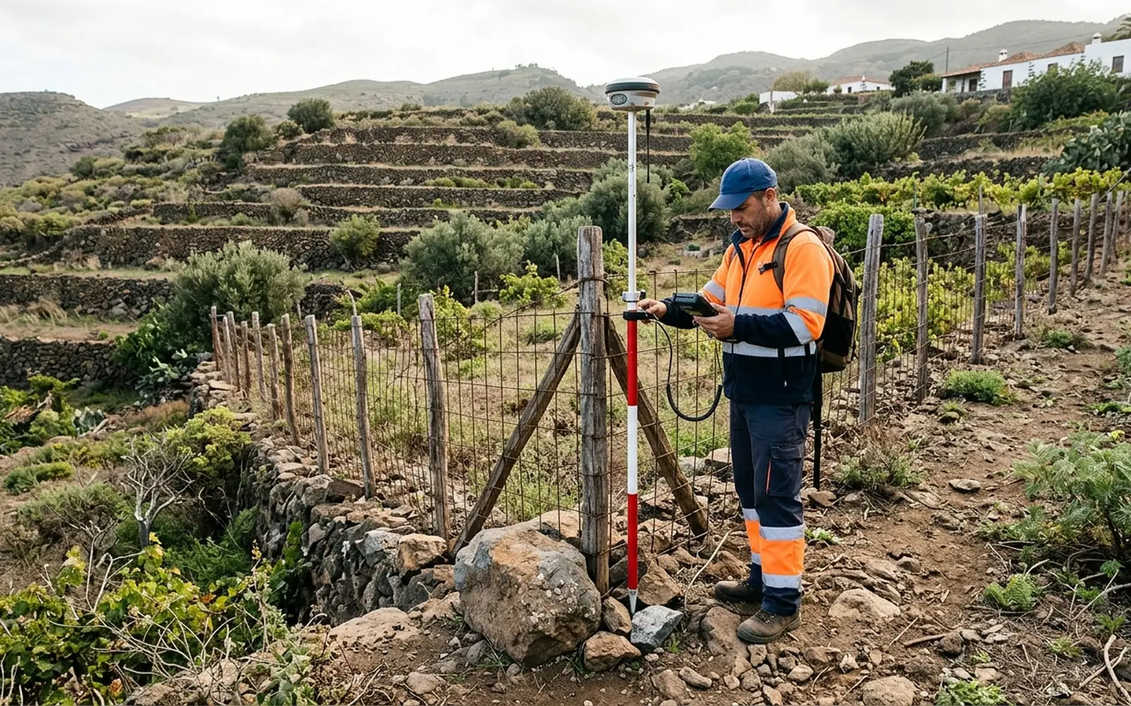
Before starting any procedure you need to know how large the plot really is: without a georeferenced measurement, any claim rests only on opinions.
What to check before requesting anything
Before raising a rectification, it is advisable to gather and check:
- 01The real georeferenced measurement of the plot, with its vertices and its surface area.
- 02The surface area and boundaries described in the deed or title of ownership.
- 03The current cadastral mapping of your parcel and of the adjoining ones, to detect overlaps or gaps.
- 04The possible effects of the new surface area (tax or registry-related), which should be assessed with your adviser before acting.
How the rectification is raised
Once the measurement is done, the graphic documentation of the plot is prepared (georeferenced representation and, where applicable, the GML file) together with the surface correction proposal. Depending on the case, Catastro may require notification to the adjoining owners or technical backing such as the IVGA.
It is important to be clear that Catastro is the body that processes and resolves the procedure. Our work is to measure, document and technically substantiate the proposal; acceptance depends on the file and cannot be promised.
What changes and what does not
Rectifying the surface area in Catastro does not by itself modify the Land Registry or the deed. If the registered area must also be updated, an additional procedure may be necessary (for example, an excess of area procedure, exceso de cabida), which is assessed case by case.
That is why the work should be approached with a complete view: measurement, Catastro and, if necessary, coordination with the Land Registry through a notary.