
Common problem
My plot has more or fewer square metres than the paperwork says
The short answer
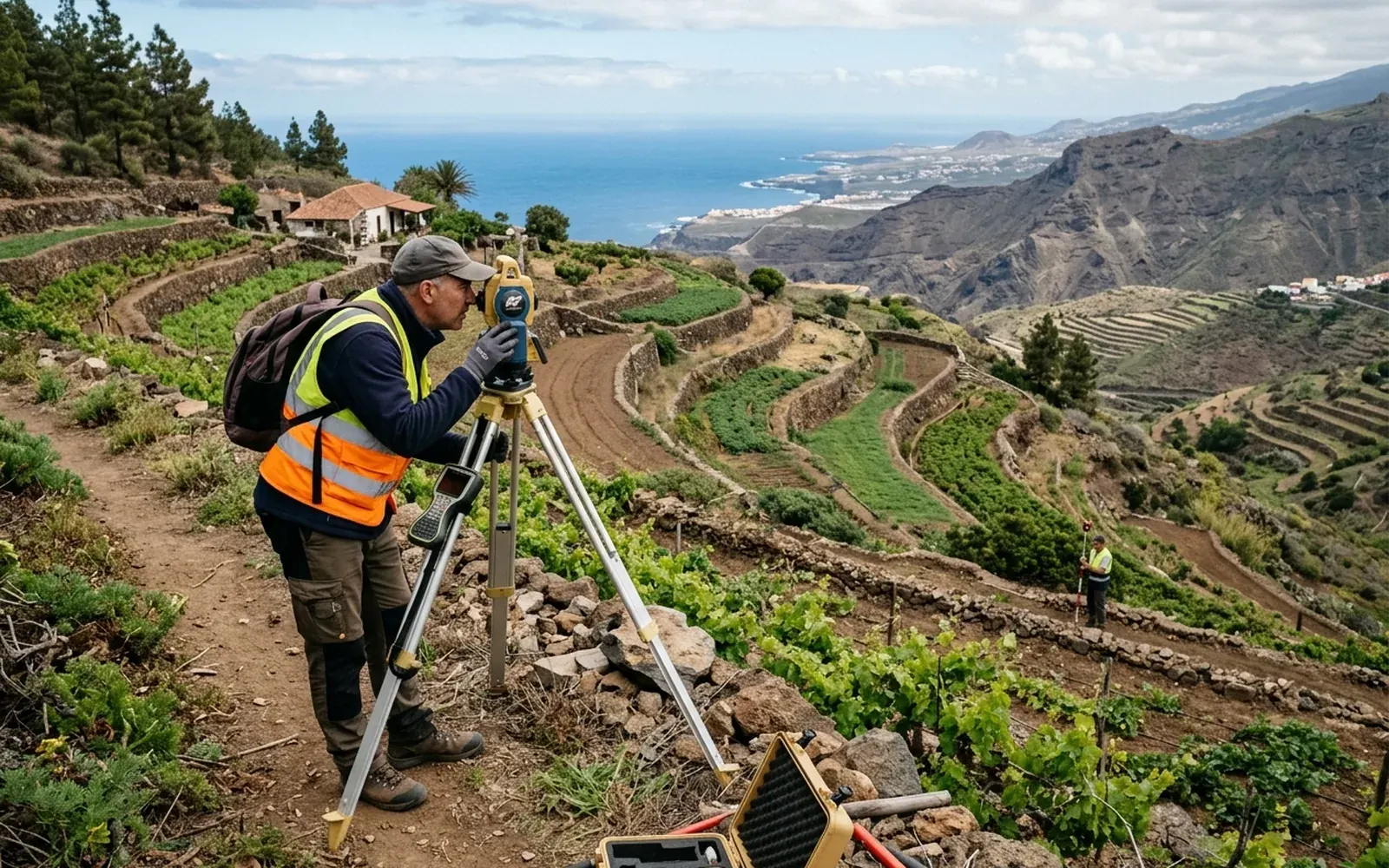
Whether you suspect your plot has more square metres than declared or you think some are missing, the path is the same: measure. A georeferenced survey gives you the real surface area and allows an objective comparison with Catastro and the deed, to know which source departs from reality and by how much.
Possible causes
- 01If it seems to have more: conservative deeds by apparent extent, old cadastral survey errors, or strips gained by boundary moves never documented.
- 02If it seems to have fewer: partial sales or transfers not reflected in all registers, encroachment by neighbours, or a cadastral representation that includes someone else's land.
- 03In both cases: differences in measurement criteria between eras and sources.
What needs checking
- Real surface area measured on the ground.
- Comparison with the cadastral and registered surface areas, figure by figure.
- Review of the plot's documentary history.
- Check that the physical boundaries match the documentary geometry.
Which professionals are involved
Determining the real surface area is technical surveying work. The consequences (correcting Catastro, updating the title, claiming against a third party) may also require a notary, the Land Registry or legal advice, depending on the case.
The MideFinca service that may fit
It depends on the specific case: we review your documentation first and then confirm it.
Tell us about your case