
Plots & land
Topographic surveys in the Canary Islands
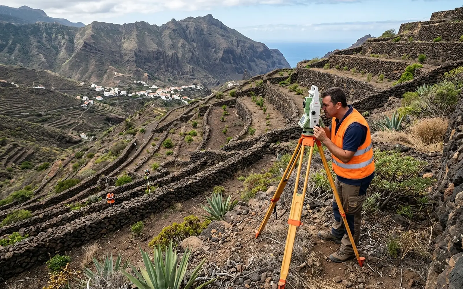
A topographic survey is not limited to representing the plot in plan view: it also records the heights or levels of the terrain and of the existing features. Levels are, simply put, the height of each point measured against a reference. With them you know the elevation changes, slopes, walls, platforms, buildings and other elements needed to design with precision, and the result is a topographic plan ready to design on a measured reality, not an assumed one.
[01]
When you need this service
- An architect or engineer is going to design on your plot and asks you for a survey.
- You need to know slopes, elevations and level changes before building or landscaping.
- You want to document the current state of a plot with all its features.
- You are submitting a project and the administration requires a georeferenced topographic plan.
[02]
What problem it solves
Designing on old or approximate plans is expensive: elevation errors, walls that aren't where they should be, misjudged slopes. The topographic survey gives the designer a measured, georeferenced base and prevents surprises during construction.
[03]
What's included
- Fieldwork with GNSS and total station.
- Capture of elevations and features: buildings, walls, tracks, relevant trees, visible services.
- Topographic plan with contour lines at a scale suited to its use.
- Georeferencing of the plan in the official system (ETRS89 / UTM zone 28).
- Delivery in PDF and CAD formats (DWG/DXF) if requested.
[04]
What we need to assess your case
- Location and cadastral reference of the parcel.
- Access to the land on the fieldwork day.
- The intended use of the plan (project, construction, documentation), to adjust scale and detail.
[05]
What you will receive
- Georeferenced topographic plan in PDF.
- CAD file (DWG/DXF) if your designer needs it.
- Contour lines, elevations and existing features represented.
- Measurement certificate.
Want to know how much it would cost in your case?
The price depends on the characteristics of the plot and the work required. Send us the cadastral reference or the location and we can make an initial assessment.
[06]