
About MideFinca
A technical studio
MideFinca was born with a specialisation: surveying, Catastro and technical documentation for plots and properties in the Canary Islands. We provide the technical foundation on which owners, notaries, registrars, lawyers and architects rely: the measurement, the plans, the report, the cadastral correction and the certificate.
Who is behind it
Technical direction: Arquitecto registered with the Colegio Oficial de Arquitectos de Tenerife, La Gomera y El Hierro.
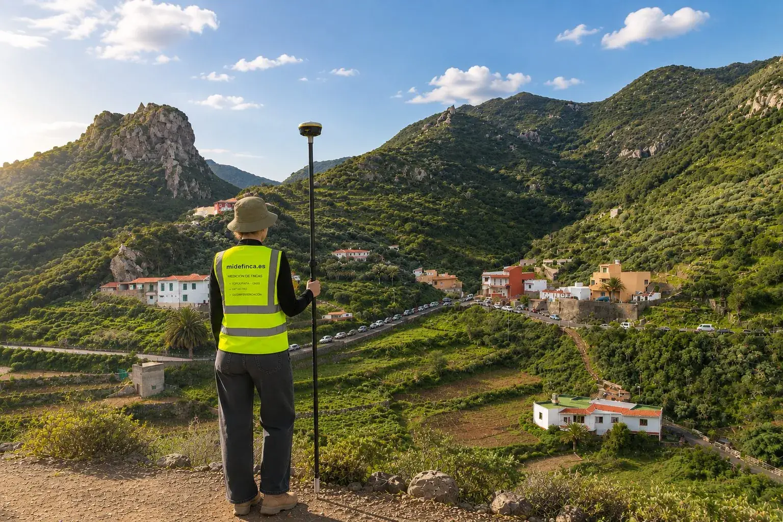
Our own fieldwork across the islands: surveying with GNSS receivers and total station, mapping and technical documentation for plots and properties.
How we like to work
Clarity
We explain what's going on with your plot in plain words. The rigour stays in the technical document; the conversation stays on level ground.
Transparency
When a result depends on Catastro, the notary or the Land Registry, we tell you from the start, so you know what to expect at each step.
Quote
Every assignment starts with a fixed quote: you know what will be done, what you will receive and how much it costs before you decide.
How every assignment unfolds
- [01]
Tell us about your case
By phone, WhatsApp or the form. If you have the cadastral reference or the title deed, even better: we review the information before discussing it.
- [02]
We review the information
We cross-check Catastro, mapping and the available documentation to understand what is happening and what needs correcting.
- [03]
We tell you what work is needed
Once we have reviewed your case, we explain what technical work you need, what documentation we will prepare and what the scope of the assignment will be. You will receive a clear proposal together with the corresponding quote before we start.
- [04]
Surveying and site visit
Once the quote has been accepted and the advance payment or retainer indicated to begin the assignment has been paid, we schedule the technical visit when the work requires it. We measure on site with GNSS equipment and total station and gather the information needed to prepare the documentation.
- [05]
We prepare the documentation
Plans, technical report, GML file, cadastral amendment or technical certificate, depending on the assignment, with measured and georeferenced data.
- [06]
Delivery of the technical work
When the work is finished, we let you know the documentation is ready. Once the outstanding fees have been paid, we make the full handover and explain what documentation you receive, what it is for and what the next steps are, if any.
Let's talk about your case
Shall we talk about your plot?
Tell us about your case and we'll honestly tell you what technical work it needs, if it needs any.