
Professionals · B2B
Technical surveying support for your firm or company
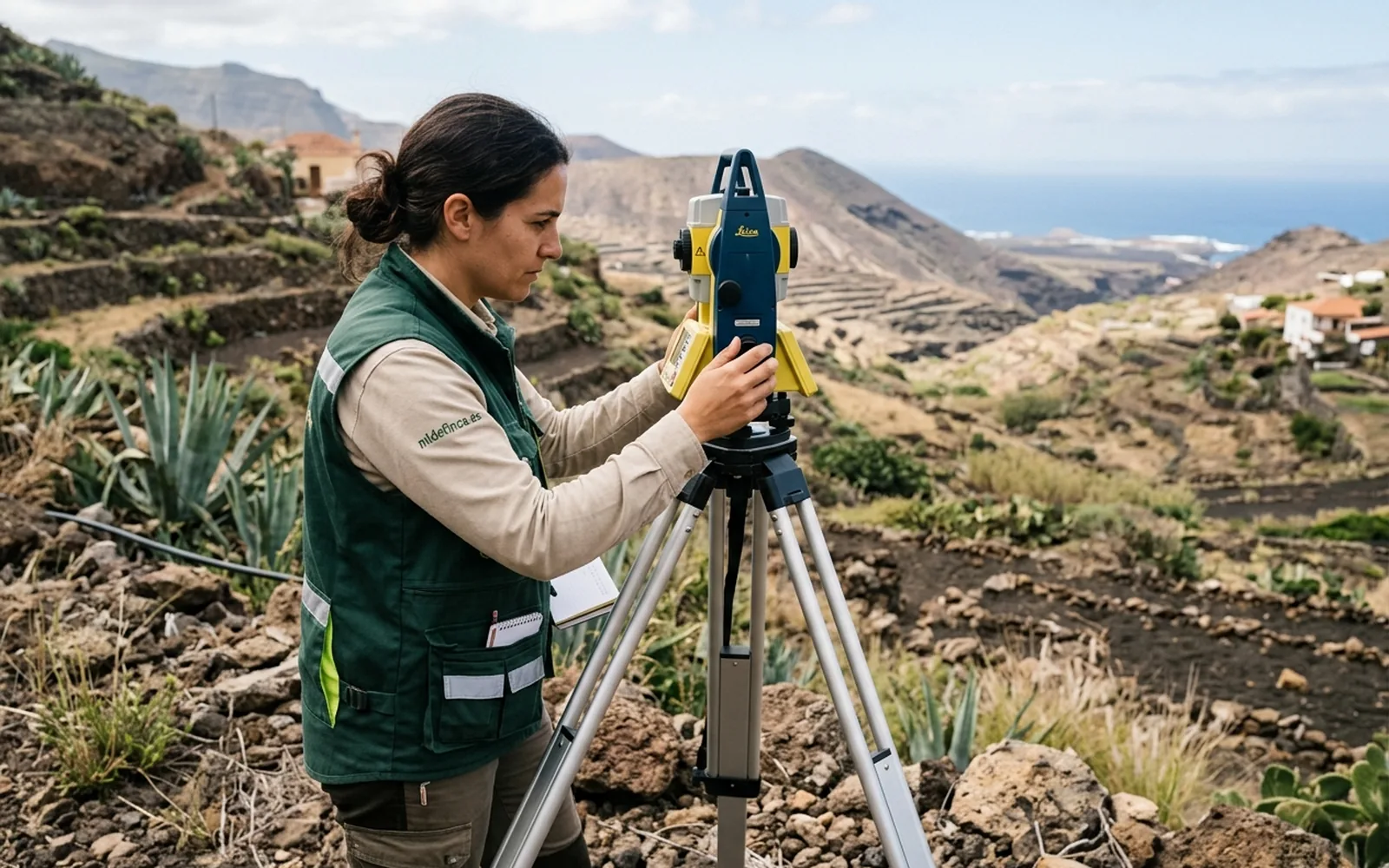
MideFinca provides one-off or recurring technical support to real estate professionals in the Canary Islands: surveys, measurements, georeferencing, plans, checks and technical documentation. You keep the relationship with your client; we solve the fieldwork and measurement side.
Architects and building engineers
Georeferenced topographic surveys as a project base, measurements of existing conditions, CAD plans and GML files for the graphic documentation of your files.
Lawyers
Objective measurements and technical reports as expert evidence in boundary, surface area or extent disputes. Measured, traceable data that supports your case.
Real estate agencies and agents
Surface and boundary checks before listing a plot: avoid deals blocked by cadastral discrepancies and offer your clients real data.
Engineering firms and builders
Support with surveys, setting out and one-off or recurring geometric control, with our own GNSS equipment and delivery in the formats you use.
Administrative agencies and other professionals
If your client has a surface, Catastro or technical documentation problem with their property, we solve the fieldwork and measurement side so you can complete the management.
Professional collaboration
One-off work per assignment or recurring collaboration. Fixed quote per job and direct communication with the technician.
Request professional collaborationLet's talk about your case
Do you work with properties in the Canary Islands?
Tell us what kind of technical support you need and we'll confirm timings and quote.