
Common problem
I've been asked for a GML file of my plot
The short answer
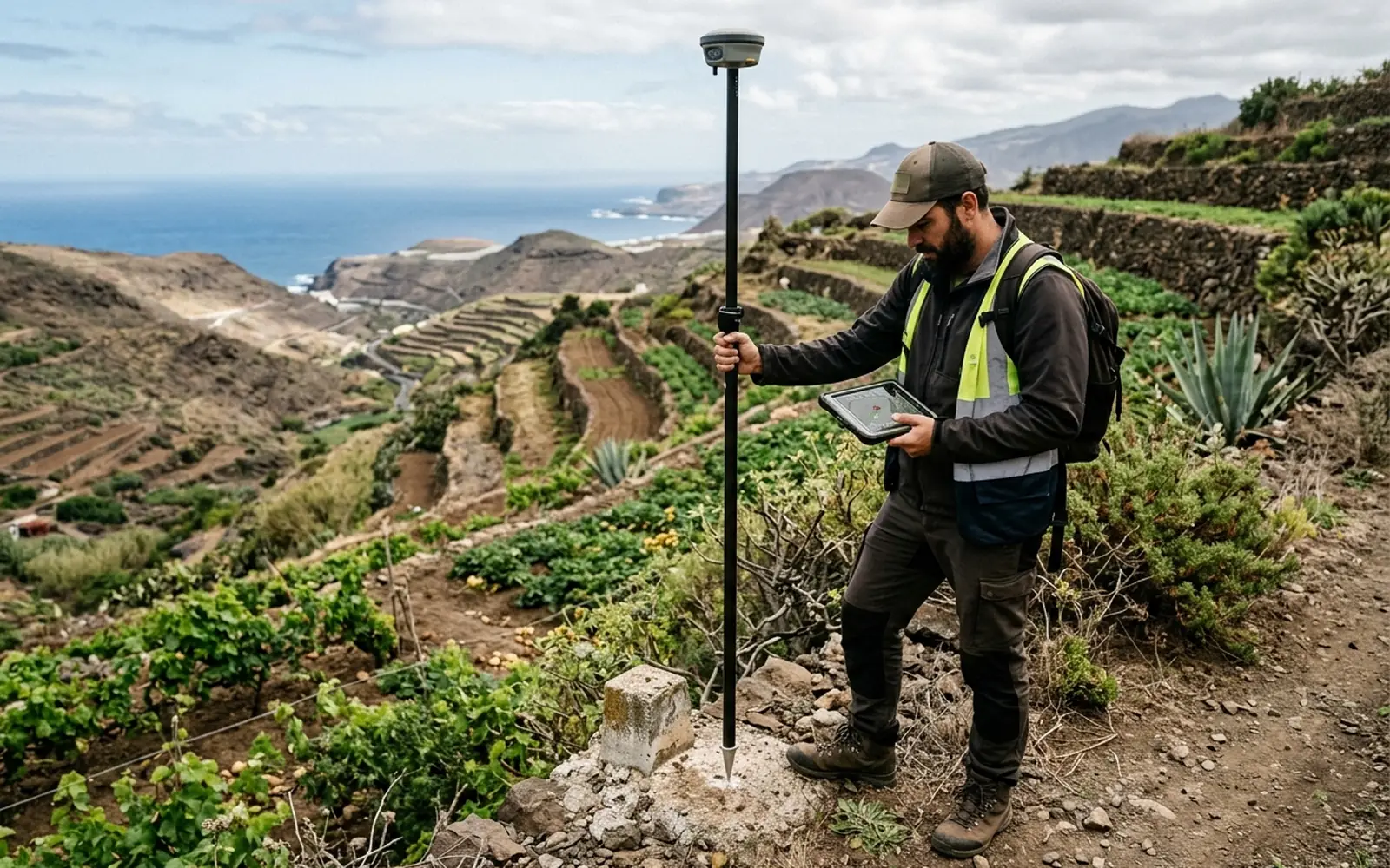
The GML is a computer file with your plot's georeferenced geometry: the official way to 'draw' the property on the mapping. Notaries and the Land Registry have required it since Act 13/2015 for sales, inheritances, segregations and declarations of new construction. It is not drawn over an aerial photo: it is built from measured coordinates and validated with Catastro's tools.
Possible causes
- 01Sale, inheritance, donation or contribution of the plot.
- 02Segregation, division or grouping of parcels.
- 03Declaration or extension of new construction.
- 04Incorporation of the georeferenced graphic representation into the deed or the Land Registry.
What needs checking
- What geometry the GML must contain: parcel, construction or both.
- Whether the current cadastral representation matches reality (if not, it is worth measuring first).
- Validity of the file in Catastro's official tools.
- Consistency of the geometry with the deed and the neighbouring plots.
Which professionals are involved
Producing the GML from a real measurement is technical work. Incorporating the file into the file and its effects belong to the notary and the registrar handling your case.
The MideFinca service that may fit
It depends on the specific case: we review your documentation first and then confirm it.
Tell us about your case