
GML & georeferencing
What is a GML file of a plot?
Updated: 2026-07-15
Your plot's geometry, in official coordinates
GML stands for Geography Markup Language. In practice, it is a file containing your plot's geometry, its vertices and outline, expressed in official coordinates of the ETRS89 system. It is the standardised way of saying 'this is my parcel, exactly here, with exactly this shape'.
Since Act 13/2015, the georeferenced graphic representation of the plot forms part of many notarial and registry files, and the GML is its exchange format with Catastro.
When you'll be asked for it
The most common situations in which the notary or the Land Registry requires the GML:
- 01Sales, inheritances and donations in which the graphic representation is incorporated.
- 02Segregations, divisions and groupings of parcels.
- 03Declarations of new construction and extensions.
- 04Rectifications of boundaries or surface area in the title.
Why a GML is not drawn: it is measured
There are tools that let you generate a GML by drawing the outline over an aerial photograph. That file can be formally valid and factually wrong: if the drawn geometry doesn't match the measured reality, an incorrect datum is being incorporated into the title that will later have to be corrected.
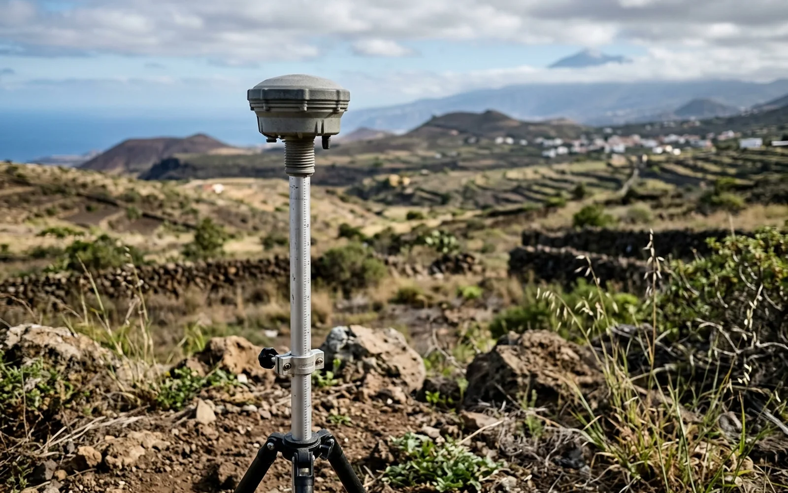
The correct process is the reverse: measure the plot on the ground with GNSS equipment, compute the vertex coordinates, build the geometry according to Catastro's specifications and validate the file with the official tools before delivering it.
What a well-made GML must include
Vertices with measured coordinates, tolerances conforming to the specifications of the Directorate-General of Catastro, correct topology (no spurious overlaps or gaps) and validation passed in the official tools. If it represents constructions, each one with its geometry and its position within the parcel.