
Plots & land
Boundary checking and demarcation in the Canary Islands
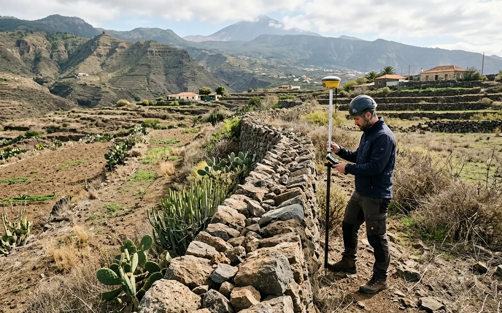
Knowing where a plot begins and ends seems simple until you need to locate it physically on the ground. We download the cadastral representation of the parcel and, during the visit, we set out its vertices so you can identify on the ground where the points shown in the cadastral mapping lie. If there is a discrepancy between Catastro, the title deed, the Land Registry, the fencing or the physical reality, the work may require an additional boundary and documentation study: cadastral mapping on its own does not necessarily determine the legal boundary of a property.
[01]
When you need this service
- You don't know exactly where your plot's boundaries are.
- A neighbour has moved a fence or disputes the boundary.
- You are going to enclose, fence or build and need certainty about the limits before spending.
- Markers or boundary stones have disappeared and need to be set out again.
[02]
What problem it solves
This service allows you to physically locate how far Catastro represents your plot as reaching, to identify its vertices on the ground and to have references for later fencing or marking. It also makes it possible to detect possible differences between the physical reality and the cadastral representation, and to know whether a fuller measurement or demarcation job is needed afterwards.
[03]
What's included
- Visit to the plot.
- Download of the parcel and the available cadastral mapping.
- On-site setting out of the vertices of the cadastral representation.
- Plan of the set-out representation with its coordinates.
- Technical report with the differences detected, if any.
[04]
What we need to assess your case
- Title deed or registry extract of the plot.
- Cadastral reference.
- Access to the parcel and, if possible, to the boundaries from both sides.
[05]
What you will receive
- Vertices located during the visit, so you can physically materialise or identify the points with your own marking.
- Plan of the cadastral representation with the vertex coordinates.
- Technical report with the differences detected between the mapping and the physical reality, if any.
Want to know how much it would cost in your case?
The price depends on the characteristics of the plot and the work required. Send us the cadastral reference or the location and we can make an initial assessment.
[06]