
Plots & land
GML file for Catastro and Land Registry in the Canary Islands
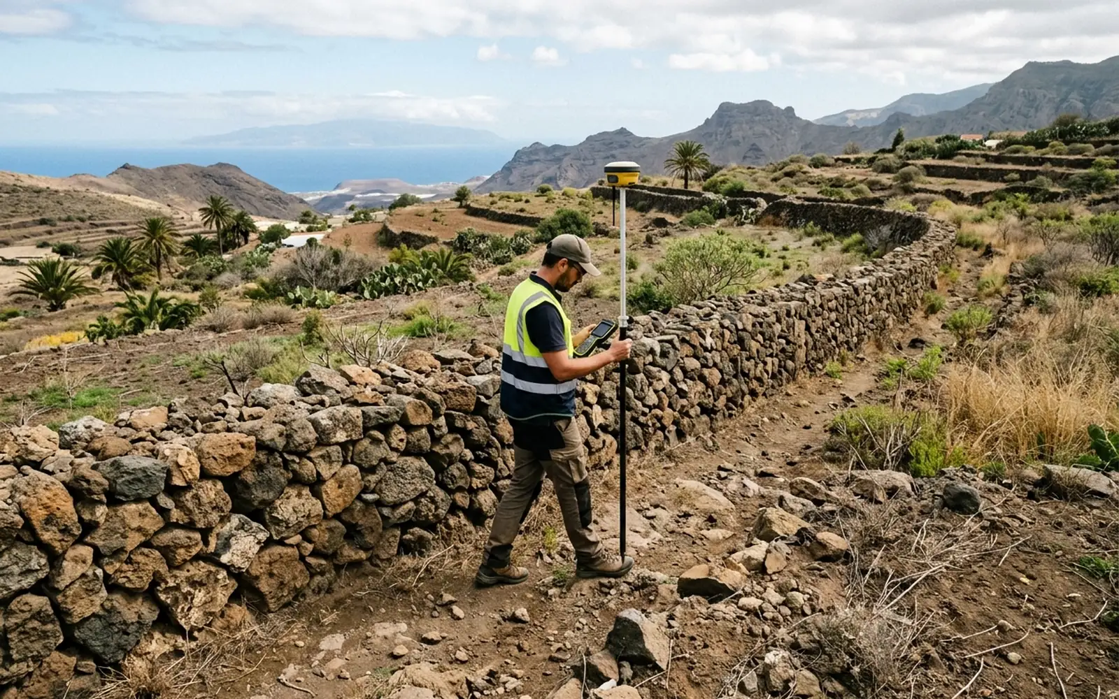
The GML is the file with your plot's georeferenced geometry that notaries and registrars have required since Act 13/2015 to incorporate the graphic representation into the deed. We produce it from real measurement and validate it against the specifications of the Directorate-General of Catastro.
[01]
When you need this service
- The notary has asked you for a GML to sign a purchase, inheritance or segregation.
- The registrar requires the georeferenced graphic representation of the plot.
- You are going to declare new construction and need the geometry of the parcel and the building.
- You want Catastro to draw your plot where and as it really is.
[02]
What problem it solves
A badly made GML, drawn over an orthophoto without measuring, with incorrect topology or unvalidated, gets rejected and delays the signing. We start from the real measurement of the plot, build the geometry according to the cadastral specifications and validate it before delivery.
[03]
What's included
- Measurement and georeferencing of the plot vertices.
- Generation of the GML file according to Catastro specifications.
- Validation of the file with the official tools.
- Plan of the resulting graphic representation.
[04]
What we need to assess your case
- The cadastral reference of the plot.
- The deed or the notary/registrar's request, if you have it.
- Access to the plot for the measurement.
[05]
What you will receive
- Validated GML file, ready to submit to the notary or Land Registry.
- Plan with the graphic representation of the plot.
- The list of coordinates used.
- Positive Informe de Validación Gráfica Alternativa (IVGA), where applicable.
Want to know how much it would cost in your case?
The price depends on the characteristics of the plot and the work required. Send us the cadastral reference or the location and we can make an initial assessment.
[06]