
Catastro
What is the IVGA: the Alternative Graphic Validation Report
Updated: 2026-08-24
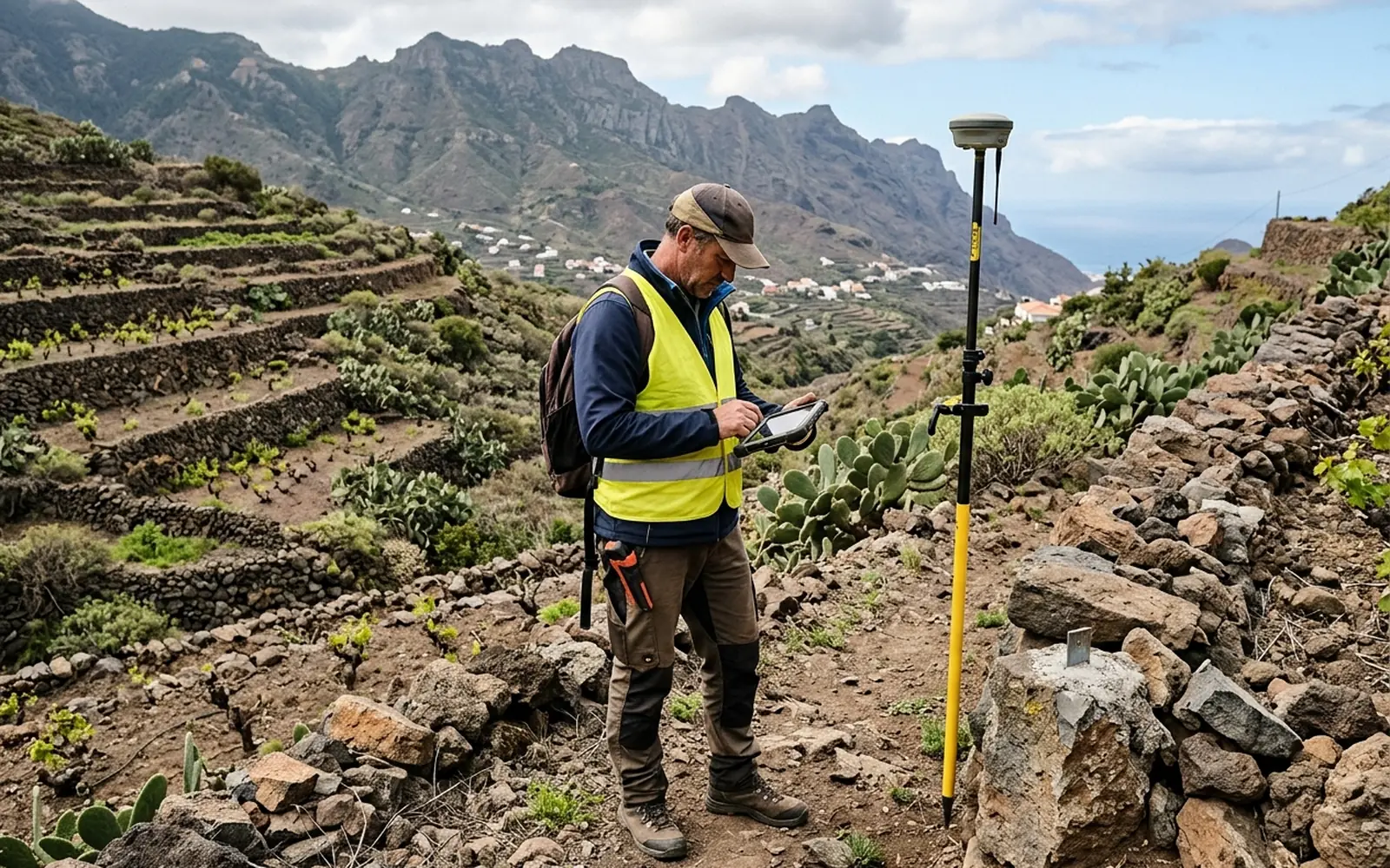
A technical validation of the plot's geometry
The IVGA (Informe de Validación Gráfica Alternativa, Alternative Graphic Validation Report) is a technical document by which a competent technician validates the georeferenced graphic representation of a plot: it confirms that the measured geometry (vertices, surface and coordinates) is coherent with the reality on the ground.
It is used within Catastro procedures as a technical alternative to individually notifying the adjoining owners: instead of requiring their agreement, the graphic representation is backed by a technician's validation.
When it may be necessary
Not every graphic procedure requires an IVGA. Depending on the case, it may be necessary or advisable in situations such as these:
- 01Corrections of surface or geometry in Catastro when the recorded data differ from the measured reality.
- 02Submission of graphic representations (for example, GML files) in coordination procedures between Catastro and the Land Registry.
- 03Declarations or rectifications in which the Catastro authority requires technical backing for the geometry provided.
What a positive IVGA means, and what it does not
A positive IVGA means that the technician has validated the graphic representation submitted. It is an important technical backing, but it is not a title of ownership, it does not by itself legalise a construction or a division, and it does not replace the resolution of the procedure.
The processing and the resolution correspond to Catastro (or the relevant body). Our work is to measure correctly, prepare the graphic documentation and, where applicable, issue the technical validation so that the file moves forward on solid data.
Who can issue it
The IVGA is issued by a competent technician (architects, technical architects, engineers and other graduates enabled by the cadastral regulations), who assumes technical responsibility for the validation. That is why the basis of the whole report is a well-done georeferenced measurement on the ground.