
Technical services for plots and properties · Canary Islands
Surveying and technicalsolutions for plotsand properties in the Canary Islands
We measure, verify and document land and buildings to resolve Catastro and Land Registry procedures and other formalities related to your property.
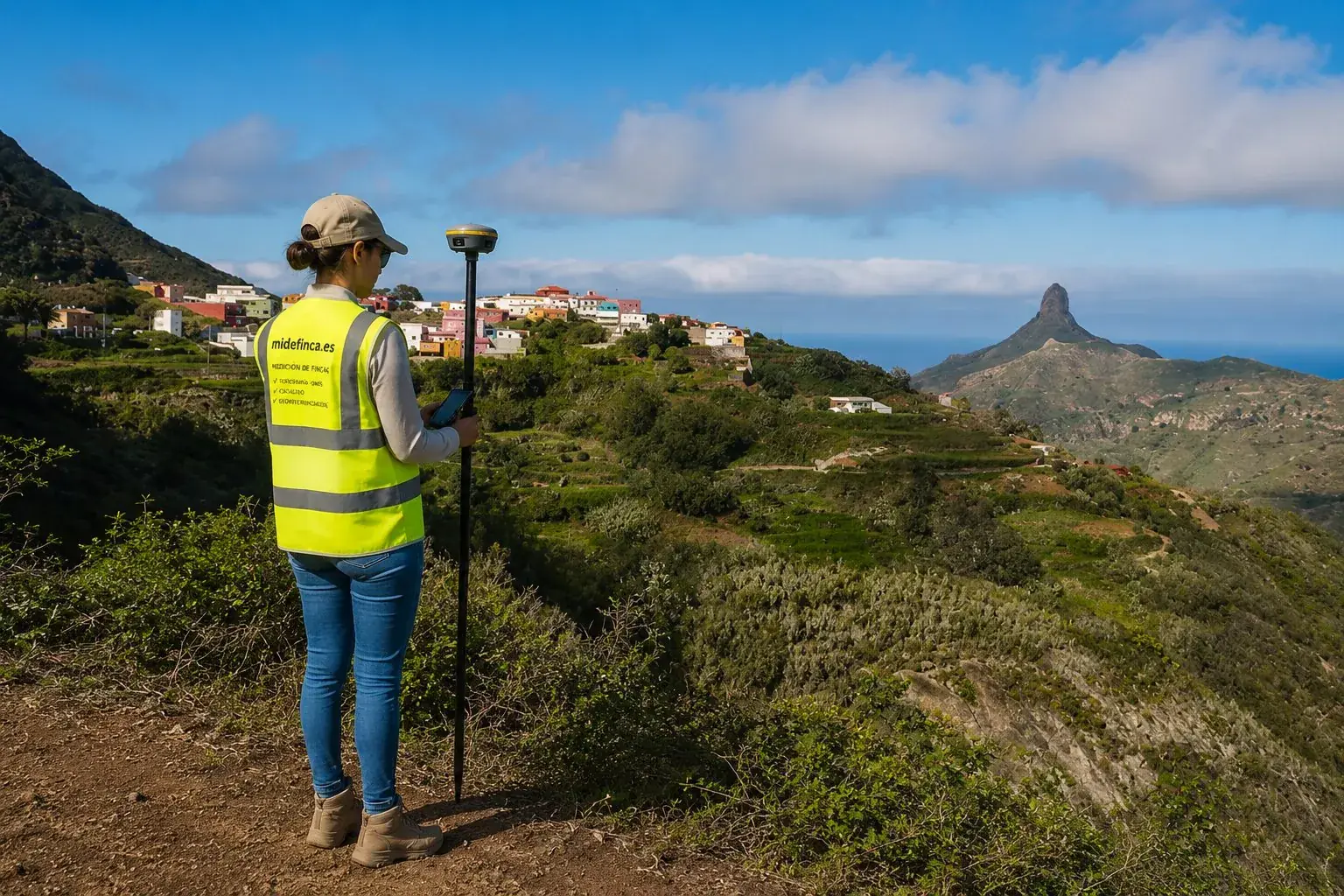
CANARY ISLANDS · UTM 28R · SPAIN
What do you need to sort out?
I know what I need
You know the service: a survey, a GML file, a certificate. Choose directly.
- Plot and land surveying
- Topographic survey
- Plot georeferencing
- GML for Catastro and Land Registry
- Boundaries and demarcations
I have a problem
You don't know which service is needed. Tell us what's going on and we'll guide you.
- Catastro and deed don't match
- I don't know where my plot ends
- My plot has more or fewer metres than Catastro says
- I need a GML file
- Buying a plot and checking the metres
Common problems
Start with your problem, not with the name of the service
Services
Plots & land
Buildings
How we work
Six steps, zero surprises
- [01]
Tell us about your case
By phone, WhatsApp or the form. If you have the cadastral reference or the title deed, even better: we review the information before discussing it.
- [02]
We review the information
We cross-check Catastro, mapping and the available documentation to understand what is happening and what needs correcting.
- [03]
We tell you what work is needed
Once we have reviewed your case, we explain what technical work you need, what documentation we will prepare and what the scope of the assignment will be. You will receive a clear proposal together with the corresponding quote before we start.
- [04]
Surveying and site visit
Once the quote has been accepted and the advance payment or retainer indicated to begin the assignment has been paid, we schedule the technical visit when the work requires it. We measure on site with GNSS equipment and total station and gather the information needed to prepare the documentation.
- [05]
We prepare the documentation
Plans, technical report, GML file, cadastral amendment or technical certificate, depending on the assignment, with measured and georeferenced data.
- [06]
Delivery of the technical work
When the work is finished, we let you know the documentation is ready. Once the outstanding fees have been paid, we make the full handover and explain what documentation you receive, what it is for and what the next steps are, if any.
Why MideFinca
Technical rigour, explained in plain words
Chartered architect
Technical direction is provided by an architect registered with the Official College of Architects of Tenerife, La Gomera and El Hierro.
Professional surveying equipment
We work with GNSS receivers and total stations to obtain georeferenced measurements.
Fixed quote upfront
Before we start you know what will be done, what you will receive and how much it costs. No surprises.
Professional technical documentation
Plans, reports, GML files and certificates produced with technical judgement, not generic templates.
Real work in the Canary Islands
We know the territory, the island mapping and the Catastro casuistry of the Canary Islands.
No empty promises
We tell you what is viable and what depends on third parties. If your case has no technical path forward, we tell you before charging you anything.
Individual quote
Need to survey a plot or solve a Catastro problem?
Send us the cadastral reference, the plot location or briefly tell us what you need. You don't need to know the procedure or the technical term: we'll study your case to determine what work it requires.
Guides
Understand your case before you decide
Frequently asked questions
What people ask us before calling
Let's talk about your case
Do you have a problem with a plot or property?
Tell us about your case and we'll review what technical work it needs. No obligation, with a quote upfront.