
Catastro
Why don't Catastro and the title deed match?
Updated: 2026-07-15
Two systems that grew apart
The Land Registry documents rights: who owns what and over which property. Catastro is a fiscal and territorial inventory: it draws parcels and assigns them values. Although they converge today, for decades they worked separately, and plots accumulate different data in each one.
The result is that the same plot can have one surface area in the deed, another in Catastro and a third in reality. Neither of the first two is automatically the right one.
The most common causes of the discrepancy
In our fieldwork in the Canary Islands, these are the causes that appear again and again:
- 01Deeds by apparent extent: the surface area was declared approximately, sometimes over a century ago, without measurement.
- 02Historical cadastral mapping: the first graphic representation of many areas was made with limited precision, and its errors persist.
- 03Undocumented land movements: strip purchases, transfers between neighbours or word-of-mouth boundary changes.
- 04Segregations and groupings recorded in only one of the two sources.
- 05Digitisation errors when the old deed was incorporated into modern systems.
What to check before taking any step
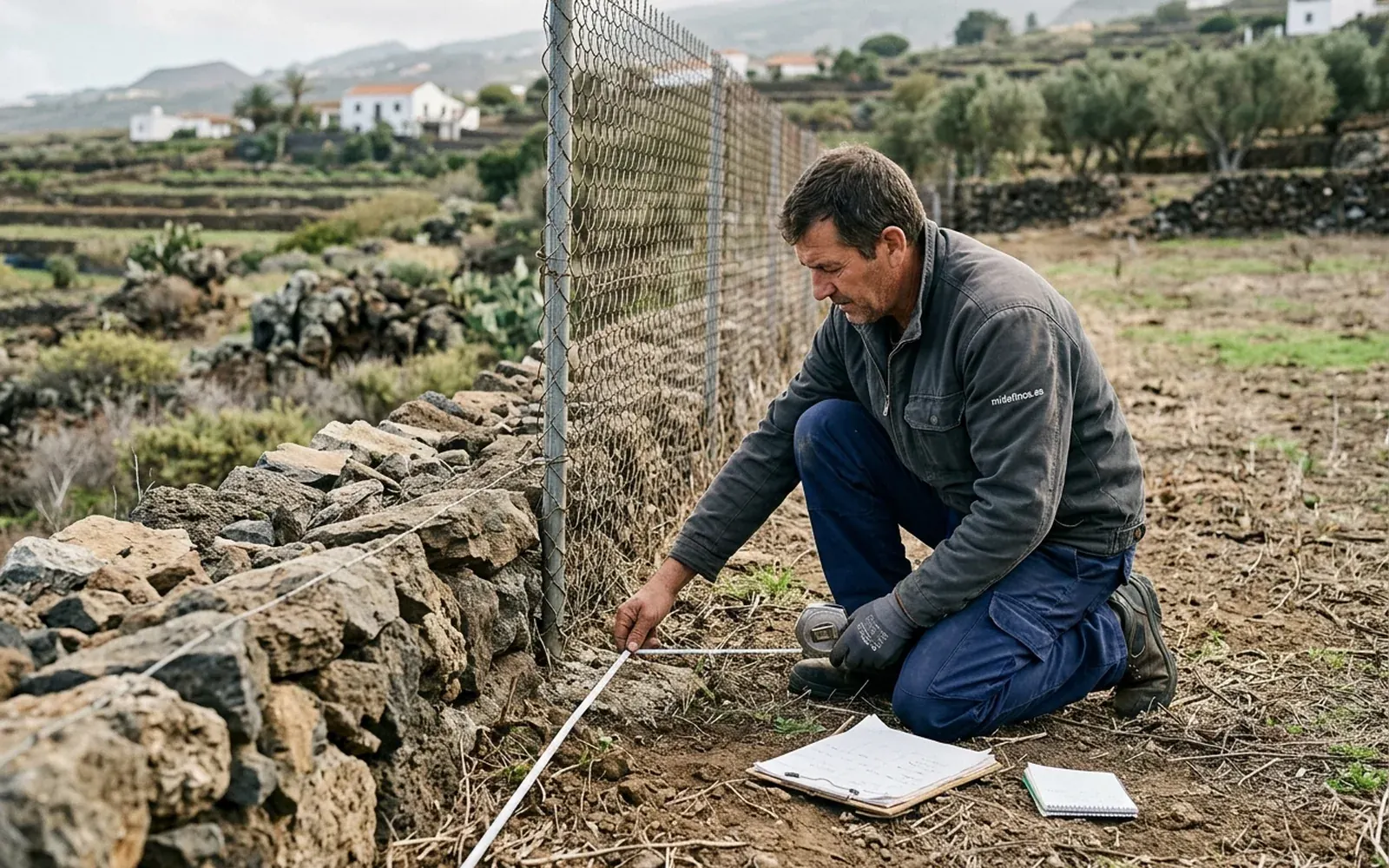
Before starting any procedure you need to know which figure is wrong, and that requires measuring. The reasonable sequence is: georeferenced measurement of the plot, comparison with the cadastral representation and review of the title history.
With that diagnosis you know whether the discrepancy lies in Catastro, in the deed or in both, and which channel may apply. Starting procedures without that prior check is working blind: sometimes the 'correction' makes the problem worse.
What can be corrected and who corrects it?
Amending cadastral data belongs to the Catastro office, through its procedures. Correcting the title or registering a different surface area goes through the notary and the Land Registry. In all these files, the starting technical evidence is the same: a georeferenced measurement and, where applicable, a GML file.
What no serious technician can promise in advance is the outcome: each procedure is resolved according to its regulations and its evidence. What can be guaranteed is that the technical documentation is well measured, well calculated and well validated.