
Plots & land
Plot georeferencing in the Canary Islands
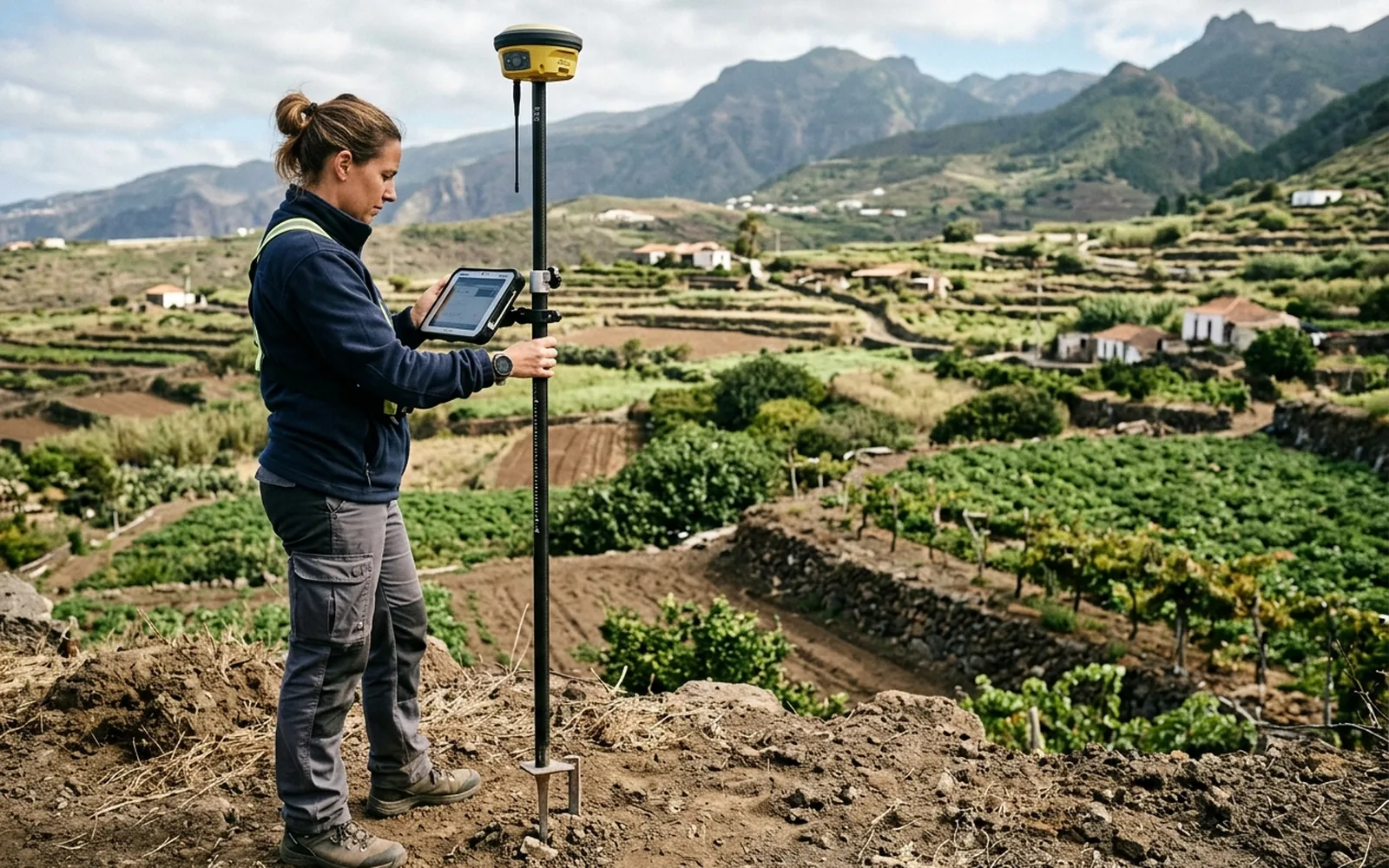
Georeferencing a plot means placing its vertices in official coordinates (ETRS89, zone 28 in the Canary Islands), so its geometry is anchored to the territory rather than to ambiguous descriptions. It is the technical basis of GML files and of any graphic representation before Catastro or the Land Registry.
[01]
When you need this service
- You have been asked for the plot's georeferencing for a deed or a procedure.
- You are going to submit a GML to Catastro or the Land Registry and need measured coordinates.
- The cadastral graphic representation doesn't match reality and you want to prove the correct geometry.
- You need to relate your parcel to the official mapping beyond doubt.
[02]
What problem it solves
Old deeds describe plots by adjoining properties ('to the north, lands of…') which today locate nothing. Georeferencing translates the property into measured coordinates, comparable with Catastro and defensible in any proceeding.
[03]
What's included
- Measurement of the plot vertices with GNSS and total station.
- Computation and adjustment of coordinates in the official reference system.
- Georeferenced plan of the parcel.
- List of vertex coordinates, ready to generate the GML file if commissioned.
[04]
What we need to assess your case
- Cadastral reference.
- Title deed or registry extract, if available.
- Access to the plot and indication of known boundaries.
[05]
What you will receive
- Georeferenced plan with the plot's geometry.
- Table of vertex coordinates in ETRS89 / UTM 28.
- If commissioned, the validated GML file for Catastro and the Land Registry.
- Detailed report.
- Measurement certificate.
- Positive Informe de Validación Gráfica Alternativa (IVGA), where applicable.
Want to know how much it would cost in your case?
The price depends on the characteristics of the plot and the work required. Send us the cadastral reference or the location and we can make an initial assessment.
[06]