
Common problem
Catastro and title deed don't match
The short answer
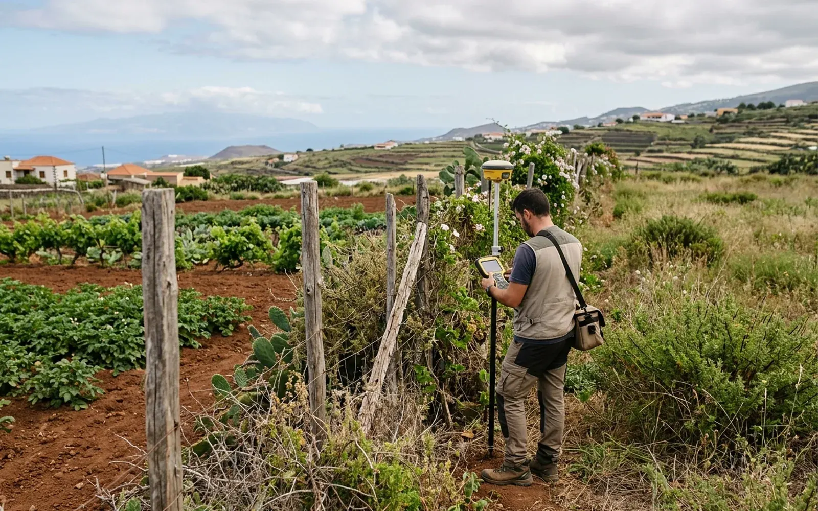
Catastro and the deed attributing different surface areas to the same plot is very frequent, especially in older properties. Neither figure is automatically correct: the objective reference is the reality on the ground, and that is only known by measuring. Until you measure, any conclusion is a guess.
Possible causes
- 01Old deeds granted 'by apparent extent': the surface area was declared without real measurement.
- 02Historical cadastral mapping surveyed with less precision than today's.
- 03Segregations, strip purchases or boundary changes documented in only one of the sources.
- 04Digitisation or graphic representation errors in Catastro.
What needs checking
- Real measured surface area of the plot, with georeferenced coordinates.
- Cadastral graphic representation: where Catastro draws the parcel and with what geometry.
- History of the title: previous deeds, segregations or groupings.
- State of the physical boundaries: walls, fences, markers.
Which professionals are involved
The measurement and diagnosis belong to a technician competent in surveying and mapping. If the title needs correcting or a different surface area needs registering, a notary and the Land Registry are also involved; amending cadastral data is up to the Catastro office.
The MideFinca service that may fit
It depends on the specific case: we review your documentation first and then confirm it.
Tell us about your case