
Plots & land
Plot and land surveying in the Canary Islands
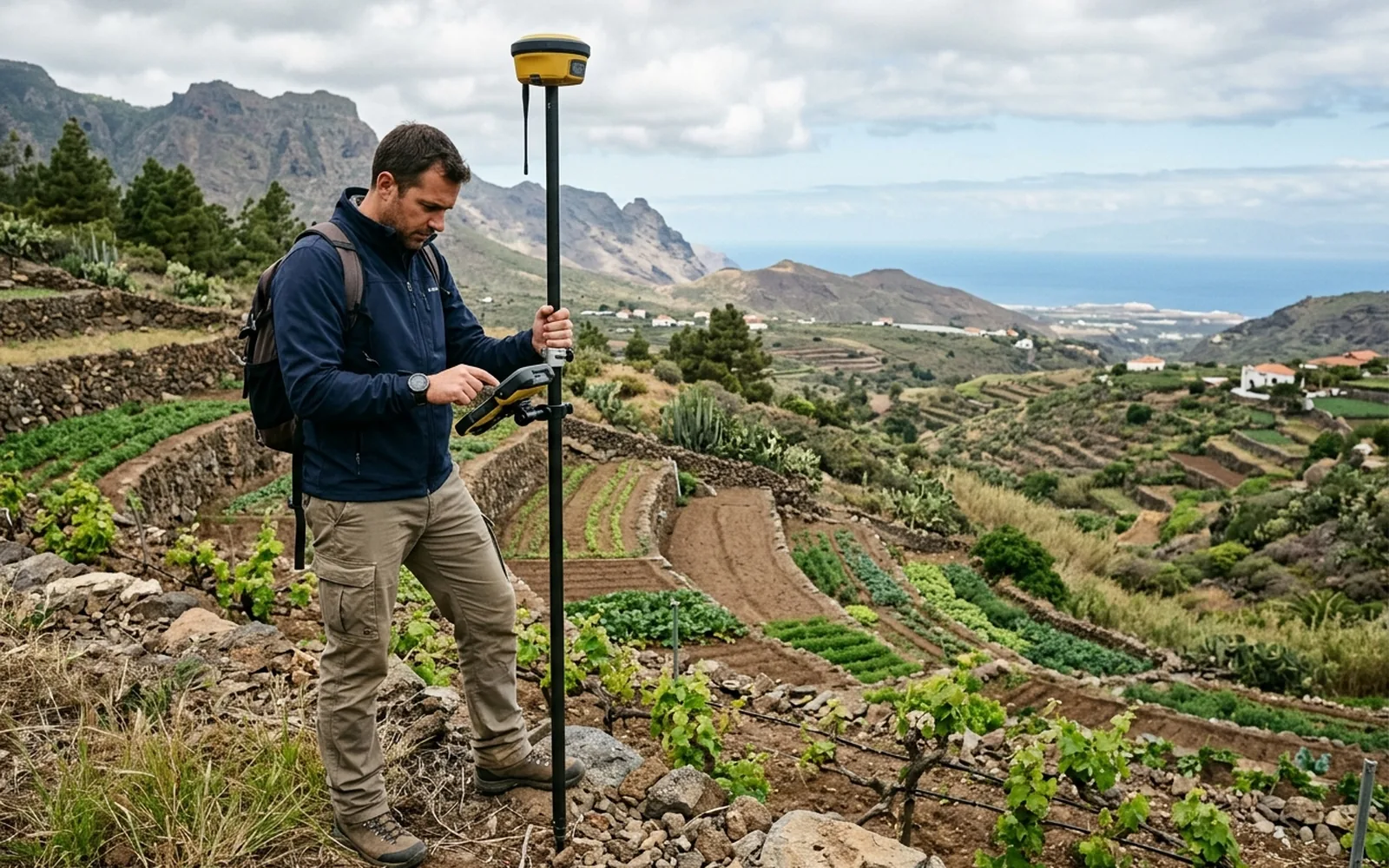
Knowing the real surface area of a plot is the starting point for selling, buying, dividing an inheritance or correcting Catastro data. We measure your parcel with GNSS receivers and total station, and hand over a plan with the true extent, vertices and full geometry.
[01]
When you need this service
- You are selling or buying and want to know how many square metres the plot really has.
- Catastro, the title deed and reality don't add up and you need an objective measurement.
- You have inherited a plot and nobody knows its exact surface area or boundaries.
- You need a reliable survey as the basis for a GML file, georeferencing or a boundary demarcation.
- You want to divide or merge parcels and need to know the starting extent.
[02]
What problem it solves
Most plot problems start the same way: nobody really knows how many square metres there are. Catastro says one figure, the deed another and the fence marks something else. A professional survey replaces assumptions with data measured on the ground, and it is the technical basis for any subsequent procedure.
[03]
What's included
- Site visit and measurement with GNSS receivers and, where coverage or precision requires it, total station.
- Location and coordinate capture of the parcel vertices.
- Plan with the measured geometry, resulting surface area and perimeter.
- Technical report describing the work carried out.
- Comparison with the Catastro and title deed surface areas, if you provide the documentation.
- Measurement certificate.
[04]
What we need to assess your case
- The cadastral reference of the plot (if you have it).
- Title deed or Land Registry extract, if available.
- Access to the plot on the day of the survey.
- Any information about known boundaries: markers, fences, walls.
[05]
What you will receive
- Plan of the plot with the measured surface area, in PDF.
- List of vertex coordinates.
- Technical report with the methodology and equipment used.
- Surface area comparison: measured, cadastral and registered.
- Measurement certificate.
- Positive Informe de Validación Gráfica Alternativa (IVGA), where applicable.
Want to know how much it would cost in your case?
The price depends on the characteristics of the plot and the work required. Send us the cadastral reference or the location and we can make an initial assessment.
[06]