
Prices & quotes
How much does it cost to survey a plot in the Canary Islands?
If you're looking for the price of surveying a plot or piece of land in the Canary Islands, the honest answer is that there is no single rate: two plots with the same surface area can require very different work. That's why at MideFinca every assignment is quoted individually, after an initial assessment with the plot's data.
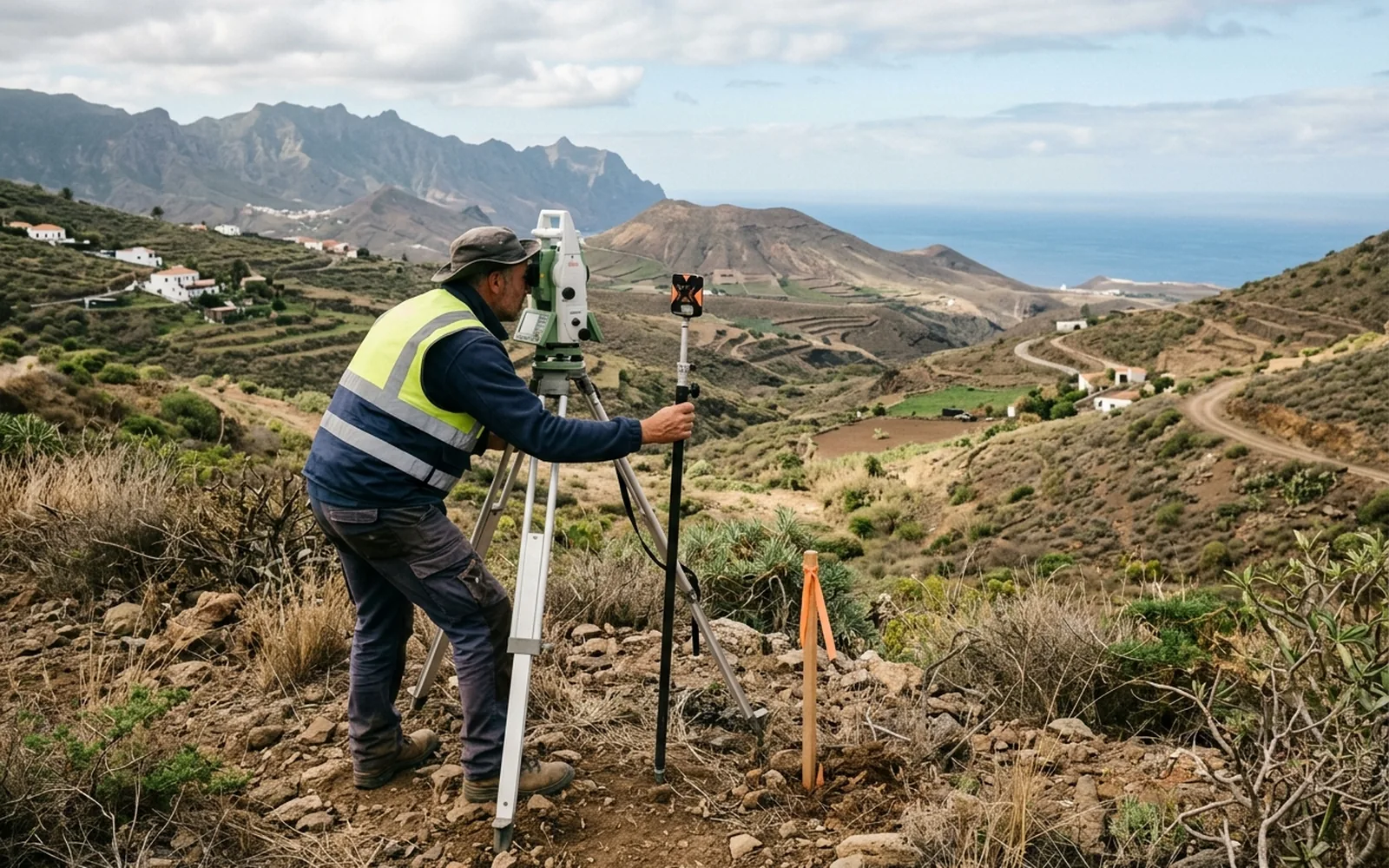
What does the price of surveying a plot depend on?
01Plot surface area
More square metres means more points to measure and more fieldwork time. A city building plot is not the same as twenty hectares of rural land.
02Location and travel
A plot in an accessible valley is not the same as a spot in Anaga or Teno with a long journey.
03Accessibility
If there is no road access or we have to walk in with the equipment, the fieldwork takes longer.
04Terrain
Steep slopes, ravines and elevation changes require more stations and more care when taking points.
05Vegetation and visibility
Dense scrub or tree cover blocks the GNSS signal and forces us to combine equipment or clear work areas.
06Number and clarity of boundaries
A parcel with four clear vertices is not the same as a plot with twenty disputed or unmarked boundaries.
07Existing documentation
Deeds, old plans or the cadastral reference allow us to prepare the work before going into the field.
08Purpose of the work
An indicative check is not the same as a survey intended for a cadastral, notarial or judicial procedure.
09Required precision and scope
Determining only the surface area, or also setting out vertices, drawing plans, comparing with Catastro or generating a GML file.
10Deliverables
Plan, technical report, GML file, comparative report or certificate: each deliverable adds office work.
The same applies to related work: georeferencing a plot, producing a GML file, checking boundaries or preparing documentation to correct Catastro data are jobs whose cost depends on the technical complexity and the specific scope of the assignment, not on a fixed rate.
What does the quote include?
The quote is prepared according to the work actually needed for your case: the survey or site visit, the documentation to be produced (plan, report, GML, certificate) and the cadastral or registry checks that apply.
Before quoting we carry out an initial assessment with the plot's data. You will receive a fixed quote, in writing, detailing what will be done, what you will receive and how much it costs, before you decide anything.
What do we need to give you a quote?
- The cadastral reference, if you have it. If not, no problem.
- The location of the plot or a Google Maps link.
- What you need or what problem you have, in your own words.
- Documentation if you have it at hand: deed, plan or a Catastro screenshot.
- Your name and a contact phone number or email.
You don't need to know the procedure or the technical term. Writing something like this is enough:
- «Catastro's square metres don't match my deed»
- «I don't know exactly where my land ends»
- «I want to survey a plot I'm going to buy»
- «I've been asked for a GML file»
Ask for your quote
Send us the cadastral reference, the plot location or briefly tell us what you need. We will study your case to determine what work it needs and prepare a quote for you.