
Common problem
I don't know where my plot's boundaries are
The short answer
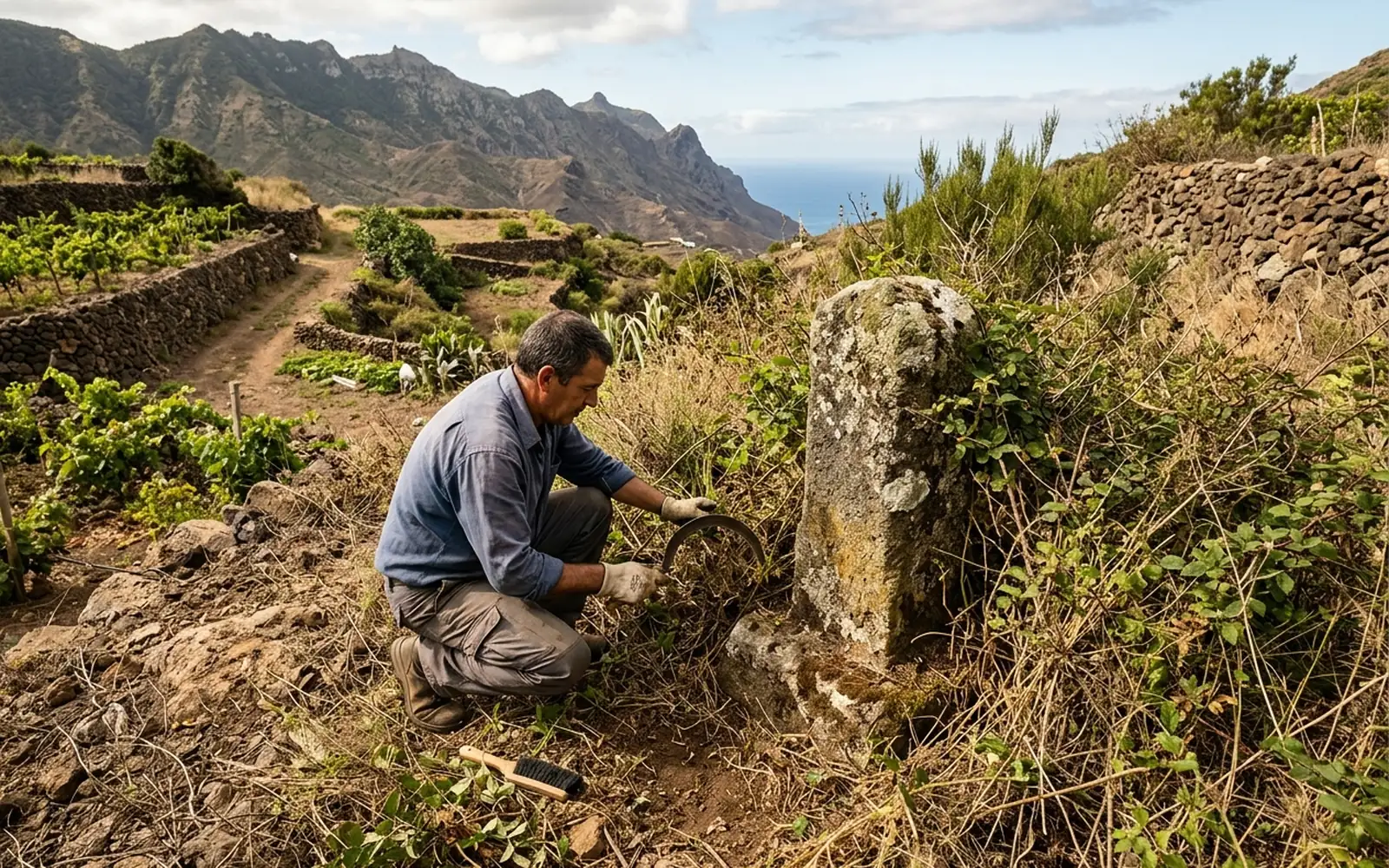
It is one of the most frequent enquiries: the deed describes adjoining boundaries from another era ('to the north, lands of…'), the markers have disappeared and the current fence may not match the documentary limit. The check starts by measuring the plot and comparing the resulting geometry with the deed and with Catastro.
Possible causes
- 01Plot described by old adjoining boundaries, without defined geometry.
- 02Disappearance of boundary stones and markers due to works, vegetation or time.
- 03Fences and walls built by approximation, not on the documentary limit.
- 04Inheritances and partial sales never set out again on the ground.
What needs checking
- Measurement of the plot and of the existing physical boundary features.
- Comparison of the measured geometry with the deed extent and the cadastral representation.
- State of the neighbouring plots and their graphic representations.
- Existence of markers or remains of old demarcation.
Which professionals are involved
The technical location of the limits belongs to a surveying technician. If the boundary is disputed with a neighbour and there is no agreement, judicial demarcation is up to the courts, with lawyers and court-appointed experts involved.
The MideFinca service that may fit
It depends on the specific case: we review your documentation first and then confirm it.
Tell us about your case