
Surveying
How to know the real square metres of a plot
Updated: 2026-07-15
Three data sources, three levels of reliability
When you ask how many square metres a plot has, you can get an answer from three places: the listing or the owner's word, the deed, and Catastro. None of the three guarantees reality: the listing usually copies the other two, the deed may be an apparent extent declared a century ago, and Catastro is a cartographic representation with its own historical margin of error.
The fourth source is the only one that measures reality: the technical survey on the ground.
How a plot is measured with precision
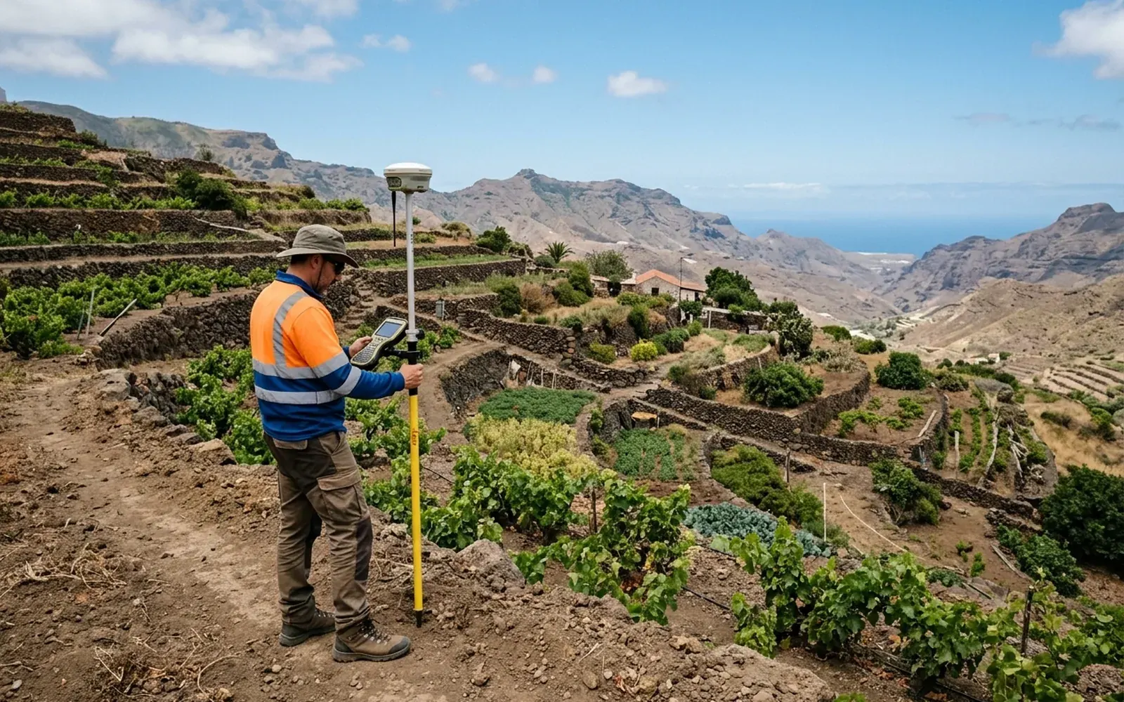
Professional measurement is done with precision GNSS receivers, which obtain coordinates by satellite, and, when coverage or vegetation requires it, a total station. The coordinates of all the parcel's vertices and of the relevant boundary features are captured.
With those vertices the complete geometry is computed: surface area, perimeter and shape. The result is not an approximation: it is a traceable measurement, expressed in the official coordinate system.
What to do with the result
Once the plot is measured, the real figure allows you to:
- 01Know which documentary source departs from reality and by how many metres.
- 02Negotiate a purchase with objective data.
- 03Decide whether it is worth starting a correction procedure in Catastro or in the title.
- 04Generate the georeferenced graphic representation (GML) if a procedure requires it.
Can I measure it myself?
Mobile apps and online viewers give useful estimates to get an idea, but their precision depends on the phone's GPS and the base orthophoto: errors of several metres per vertex are common. To sell, buy or prove something before a third party, the measurement must be technical and traceable.