
Boundaries
How to know where a parcel's boundaries are
Updated: 2026-07-15
The available sources and their real reliability
To know where a parcel begins and ends there are several sources, and it is worth knowing their reliability before trusting them:
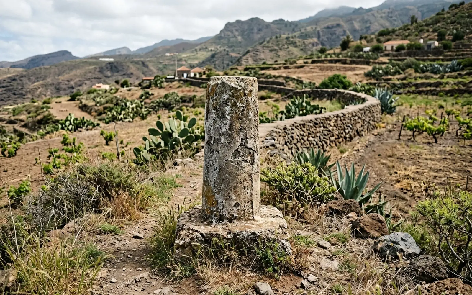
- 01Markers and boundary stones: old physical marks. Useful if preserved, but many have disappeared or been moved.
- 02Fences and walls: they reflect current occupation, not necessarily the documentary limit.
- 03The deed: describes the extent and the adjoining boundaries, but old descriptions can be ambiguous today.
- 04Catastro: draws the parcel on the mapping, but its representation is a graphic reference with its own historical margin of error, not legal proof of boundaries.
The technical check: measure and compare
The objective way to know the boundaries is to measure the parcel on the ground, locate the existing physical boundary features and compare the resulting geometry with the deed and with Catastro.
When the vertices can be determined, they are set out on the ground and marked: you will know exactly where each corner of your property lies.
If the measured limit doesn't match what's on the ground
It is frequent for the current fence not to match the documentary limit. In that case the technical documentation records the measured situation and the discrepancy; the way to resolve it (agreement with the neighbour or legal action) depends on the case and may require other professionals.