
Land Registry & deeds
How to segregate a plot in the Canary Islands
Updated: 2026-08-23
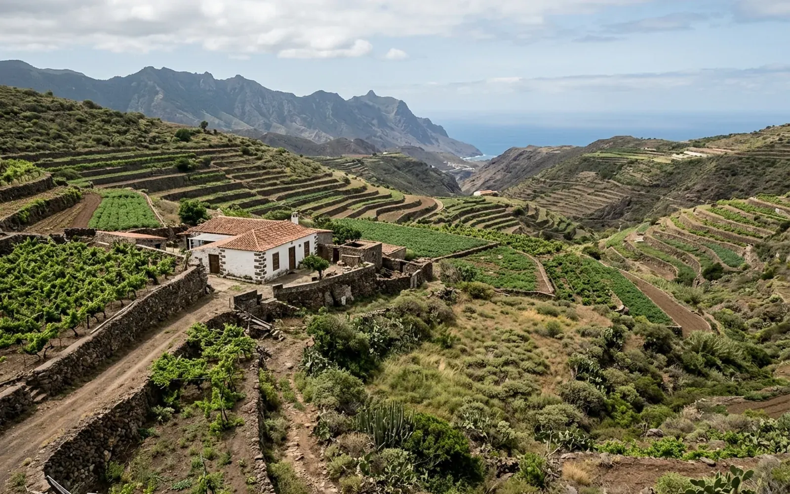
What a segregation is
Segregating a plot means dividing it into two or more independent parcels, each with its own geometry, surface area and documentation. It is a common operation in inheritances, partial sales or when a plot is too large for its intended use.
The important thing is to understand that segregating is not just drawing a line on a plan: each resulting parcel must be technically defined and the operation must be possible under the applicable planning regulations.
Why planning regulations must be checked first
Not every plot can be divided. Each municipality's planning regulations set conditions such as the minimum surface area of the resulting parcels, the required frontages or the necessary access. That is why, before raising a segregation, it must be checked whether the plot allows it and under what conditions.
This prior check avoids spending on measurements and documentation for an operation that later cannot be authorised or registered.
The technical part: measurement, georeferencing and graphic representation
Once viability is confirmed, the plot is measured and georeferenced, and the new parcels are defined: where the new boundaries run, what surface area each one has and what coordinates its vertices have.
With that definition, the plans of each parcel are produced and, when the procedure requires it, the georeferenced graphic representation in GML format and the positive Informe de Validación Gráfica Alternativa (IVGA, an alternative graphic validation report), where applicable.
Who is involved in the procedure
Depending on the case, several bodies take part, each in its own role:
- 01The town hall, when planning regulations require authorisation or notification to divide the plot.
- 02The notary, for the deed of division.
- 03The Land Registry, for the registration of the resulting properties.
- 04Catastro, for the update of its graphic representation based on what is documented.
What documentation is needed
To assess a segregation it is advisable to gather the plot's title deed, the cadastral reference and, if available, a Land Registry extract. With the measurement and the documentary review, the technical report and the plans of the resulting parcels are prepared, which are the basis on which the notary and the Land Registry then work.