
GML & georeferencing
When do I need to georeference a plot?
Updated: 2026-07-15
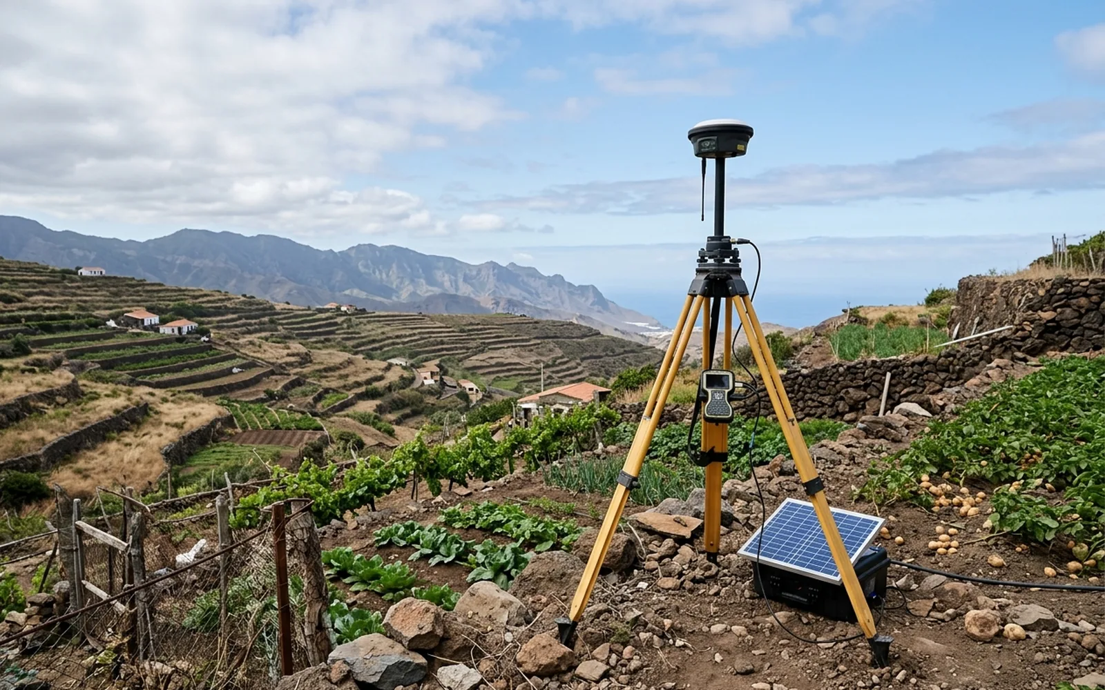
What georeferencing means
Georeferencing a plot means fixing the position of its vertices in official coordinates of the ETRS89 system (in the Canary Islands, UTM zone 28). From that moment, the plot stops being described with words ('to the north, lands of…') and gains an exact, verifiable position on the official mapping.
Georeferencing is the technical basis of the graphic representation that Catastro and the Land Registry have used since Act 13/2015.
The cases in which you'll need it
These are the most common situations in notarial and registry practice:
- 01Sales, inheritances and donations in which the plot's graphic representation is incorporated into the deed.
- 02Segregations, divisions and groupings of parcels: the new geometry must be defined in coordinates.
- 03Declarations and extensions of new construction, which usually require the representation of the parcel and the building.
- 04Corrections of discrepancies with Catastro: the technical evidence is a georeferenced measurement.
- 05Boundary conflicts or doubts, where vertex coordinates provide objectivity.
Can I georeference it myself with online tools?
There are tools that let you draw the geometry over an orthophoto. The problem is that a geometry drawn by eye is not a measured geometry: if it doesn't match the reality on the ground, the error gets incorporated into the official documentation and correcting it later is more expensive.
Serious georeferencing starts from measurement on the ground with GNSS equipment and coordinate computation with tolerances conforming to Catastro's specifications.