
Planning
What alineaciones y rasantes are and why they are needed before building
Updated: 2026-08-23
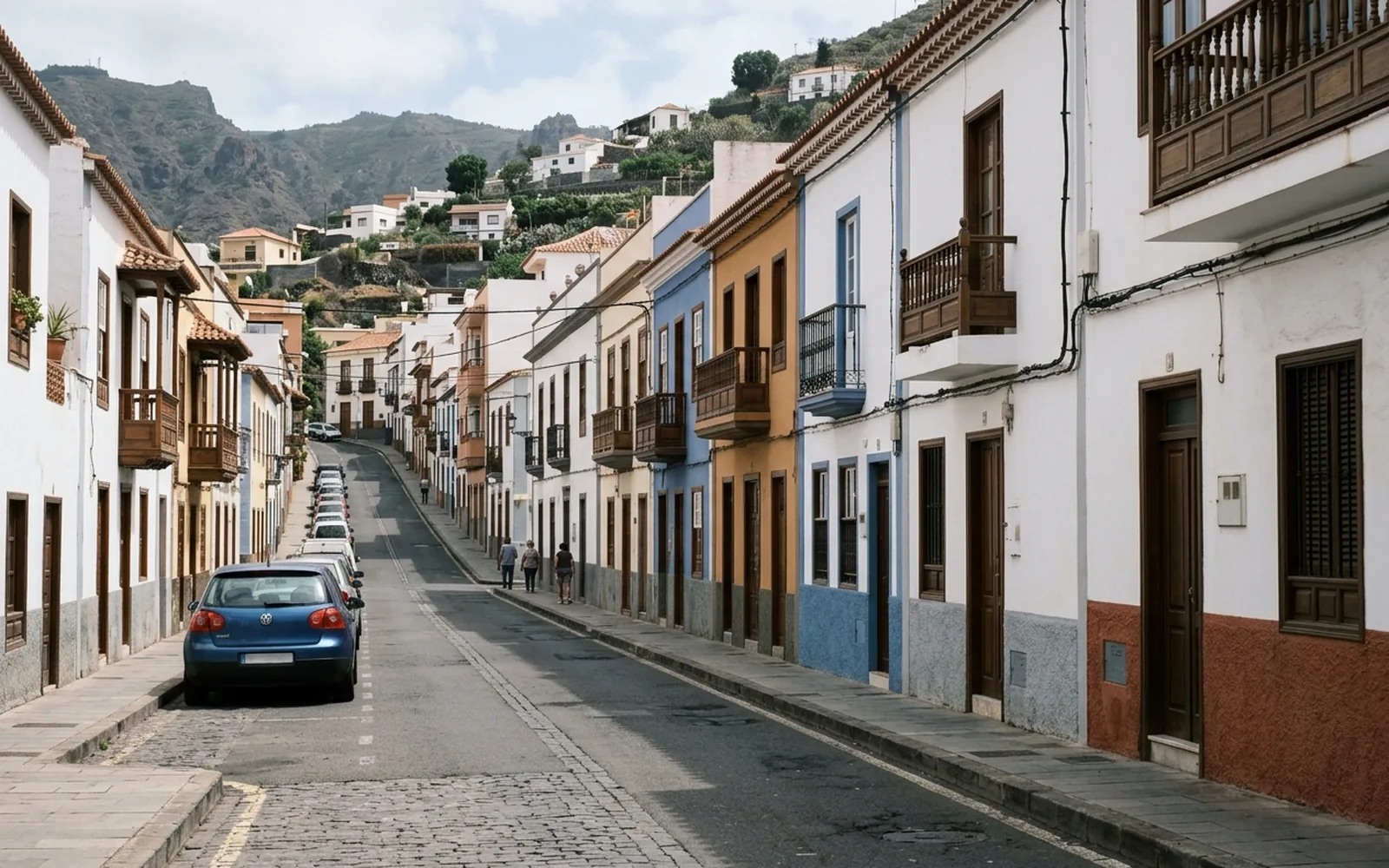
Alineación: the building's position relative to the street
The alineación (building line) is the line marking how far the building may reach in relation to the public road, according to the planning rules. It is not the same as the parcel's boundary: the alineación is a planning determination and the boundary is the limit of the property. They may coincide or not.
Rasante: the reference level for building
The rasante is the official level serving as reference for the future building: at what height the building sits relative to the road. Levels (cotas) are, simply put, the heights of each point measured against a reference. Knowing the rasante precisely avoids height errors that later are expensive or impossible to correct.
Why they are needed before designing and building
Designing without knowing the official alineación and rasante risks a project that does not fit the planning rules or having to redo it during the licence process. That is why they are requested at the start, as input data for the project.
Who issues them and what technical documentation is needed
When the procedure requires it, the official alineaciones y rasantes are issued by the town hall. To request them or to define them technically, a precise topographic survey of the parcel and its surroundings relative to the road is needed, with its plans and levels. That technical and topographic documentation is what we prepare at MideFinca, together with the submission of the application where applicable.