
Common problem
I've been asked for the alineaciones y rasantes of a parcel
The short answer
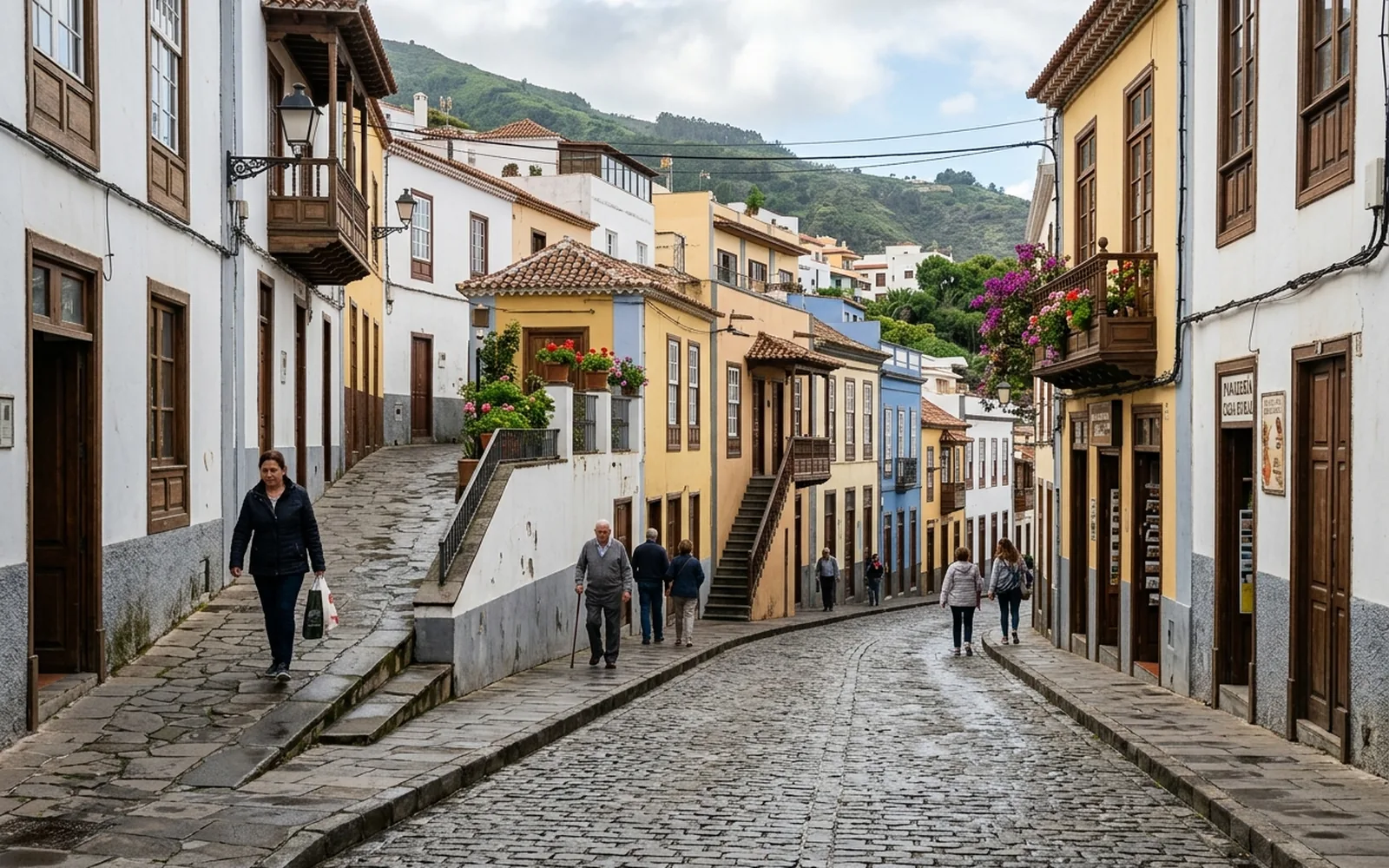
The alineaciones y rasantes define the position and level that condition the future building in relation to the public road: the alineación is the building line and the rasante is the official reference level. When the file requires it, they are officially issued by the town hall; our part is the technical and topographic documentation: the precise survey of the parcel and the road, the plans and the preparation of the application.
Possible causes
- 01New building projects that must respect the official building line.
- 02Licence procedures requiring the alineaciones y rasantes.
- 03Parcels bordering the public road without a clear definition of their position relative to it.
- 04Doubts about the level at which to build.
What needs checking
- Topographic survey of the parcel and its surroundings in relation to the road.
- Existing municipal documentation on previous building lines.
- Levels of the road and the land to define the rasante.
- The municipal procedure applicable to the case.
Which professionals are involved
The topographic survey and the technical documentation are our work. The official certification of alineaciones y rasantes, when the procedure requires it, is issued by the town hall.
The MideFinca service that may fit
It depends on the specific case: we review your documentation first and then confirm it.
Tell us about your case